Web App · 2026
ApexGPS
ApexGPS is a web navigation service that plots scenic driving routes. Instead of finding the fastest road, it finds the one that is more interesting to ride, without letting the trip run too long.

The project
ApexGPS is a routing engine that plots scenic, twisty routes, meant for the pleasure of riding rather than for getting there quickly. The main part of the project is the backend API service: it works out the routes, handles authentication with JWT and Google, and takes care of saving and syncing each user's tracks. It exposes a single data interface, used by both the mobile and the web application. Road data is processed with PostGIS, while the React frontend shows the routes on the map.
Tech stack
- Django
- Django REST framework
- PostgreSQL
- PostGIS
- JWT
- OAuth
- React
- Tailwind CSS
- Docker
- Azure
Screens

The site's opening screen. 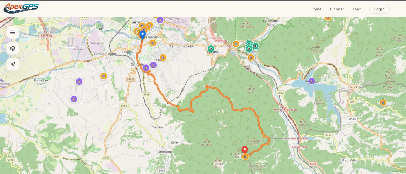
The planner, with the route plotted on the map. 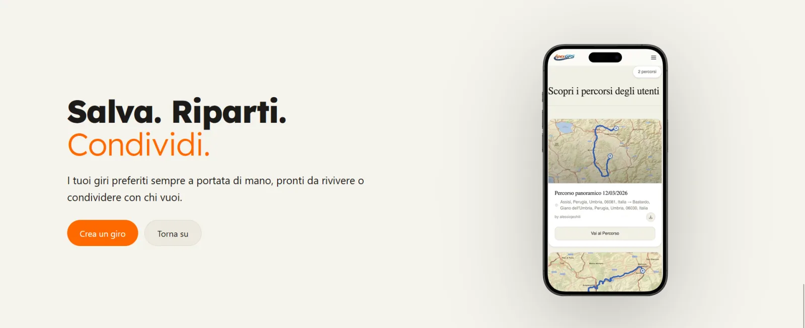
The saved routes section, on the phone.